Solutions
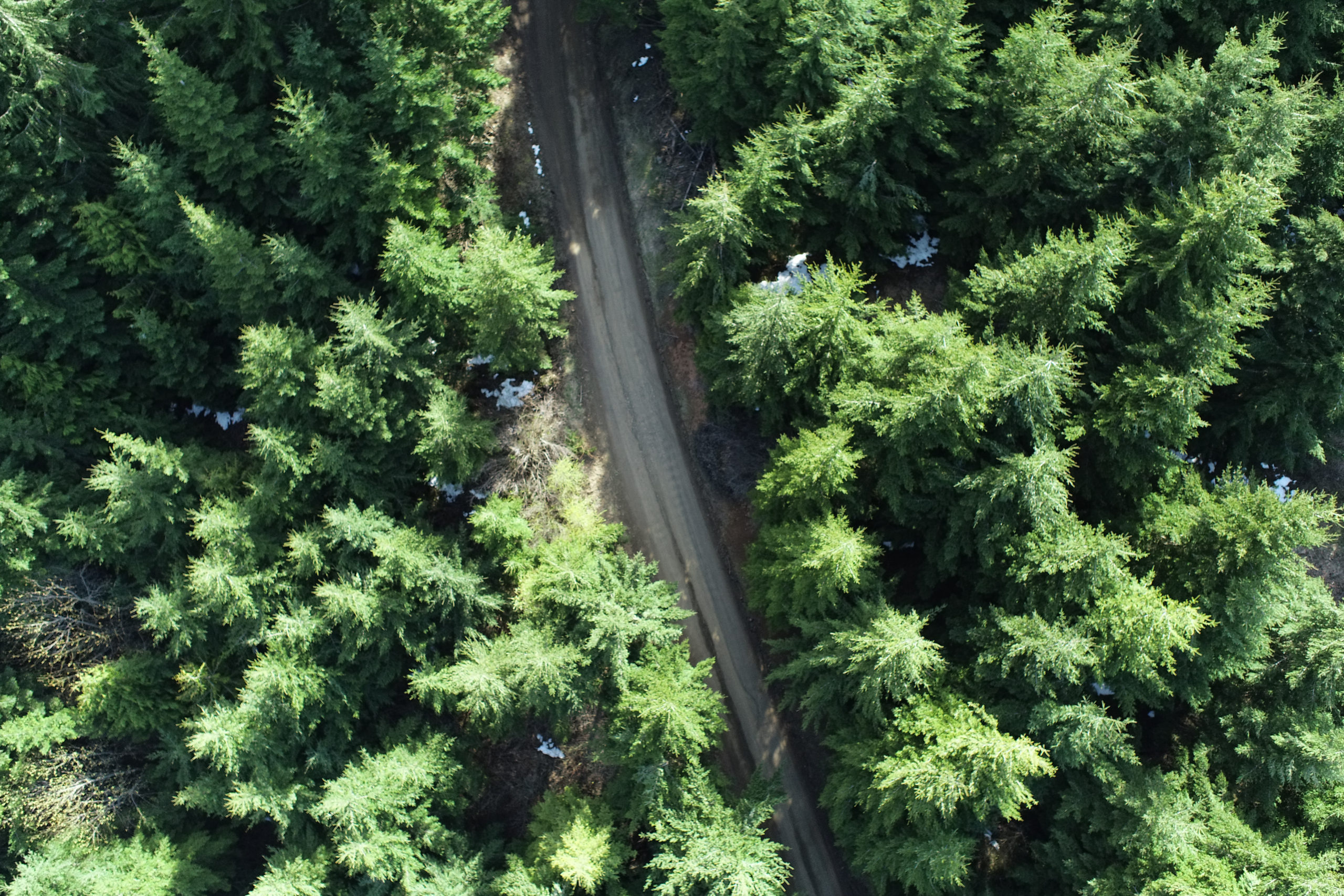
Timber and Forest Management
Helios can help find and quantify timber types, heights, spacing and more. Photos help to identify conditions and more. Ortho-rectified photos of the region provide an accurate and measurable map that give your project a foundation to start with.
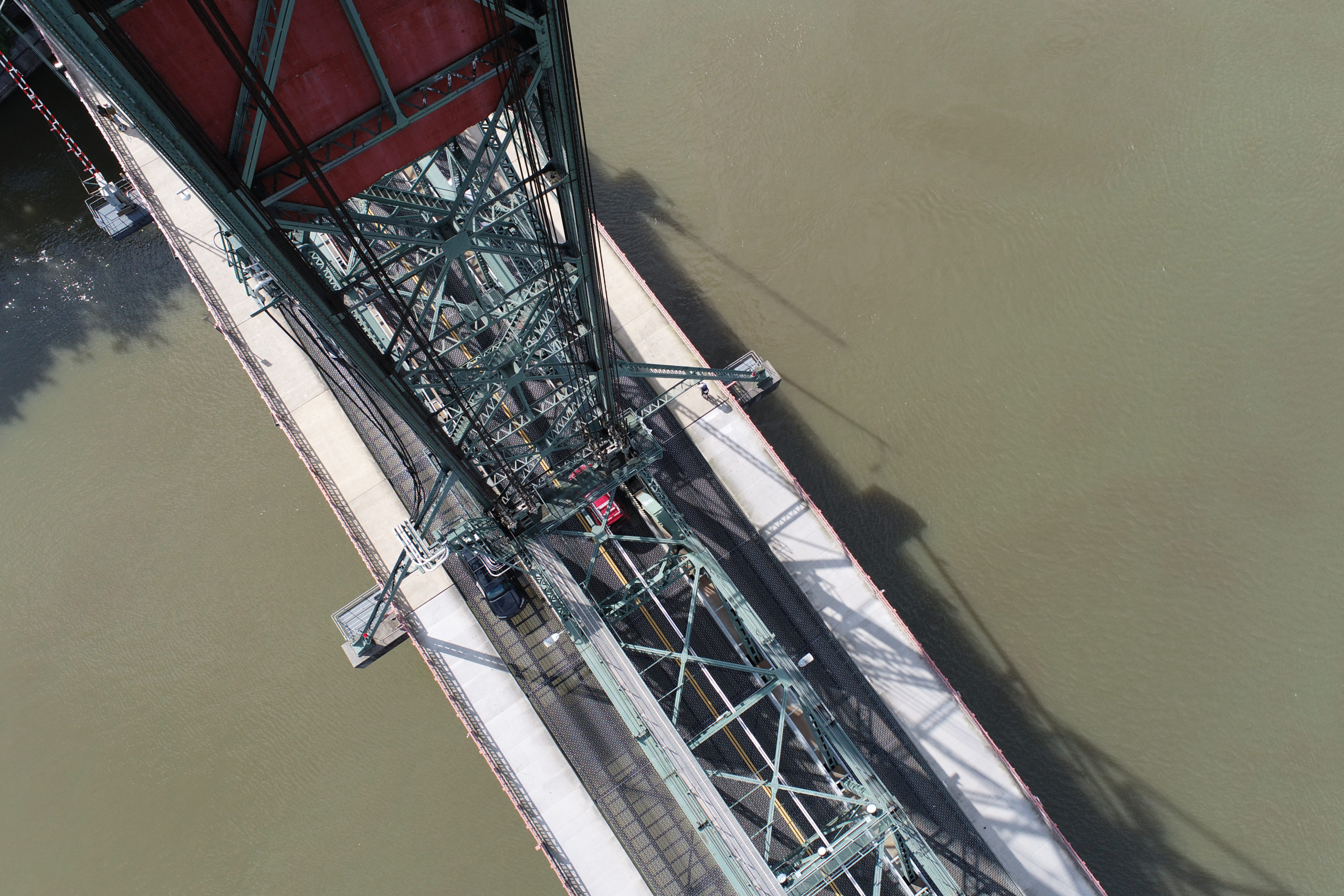
Infrastructure
Get detailed models of your substations, culverts, transmission lines, bridges, roadways and all other structures that interconnect our region.
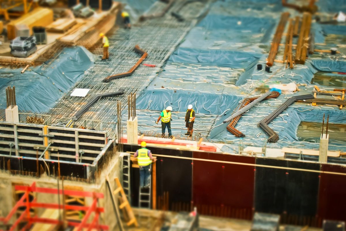
Construction
Helios can provide up to date conditions on your projects with scalable, geolocated models that help reduce cost, reduce change orders and give you the information you need to succeed!
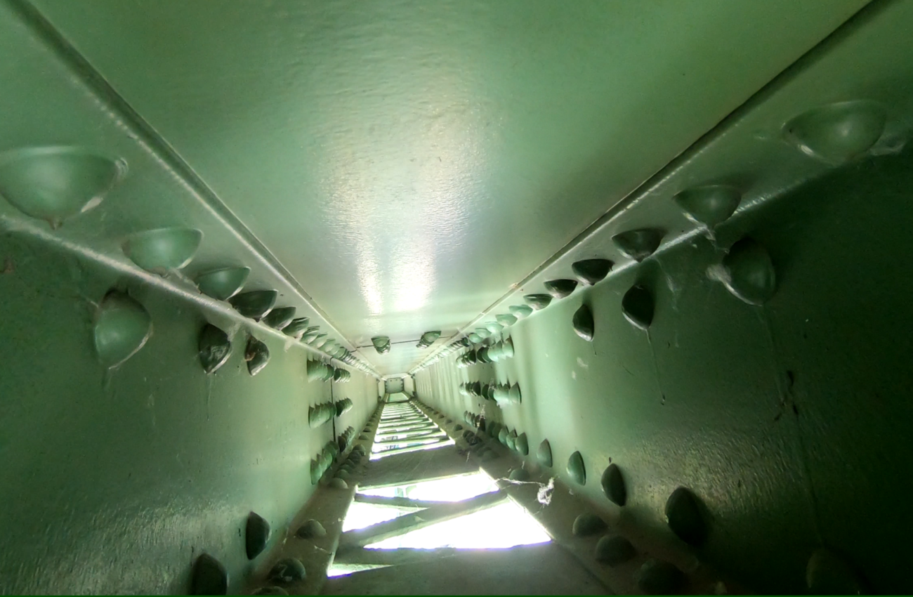
Inspection
Helios can send out drones to specific sections of structures to take high-resolution photos and videos. Cracks in the underside of a concrete bridge? Rusting on a steel angle hundreds of feet up in the air? We've got you covered.
As-Built-Creation
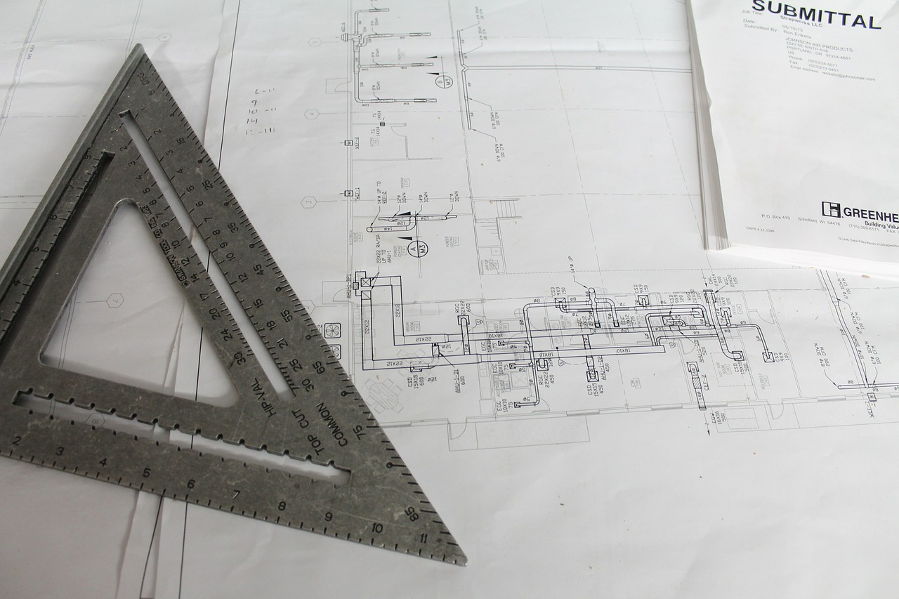
Helios can provide up to date conditions on your projects with scalable, geolocated models that help reduce cost, reduce change orders and give you the information you need to succeed!
Real-Estate
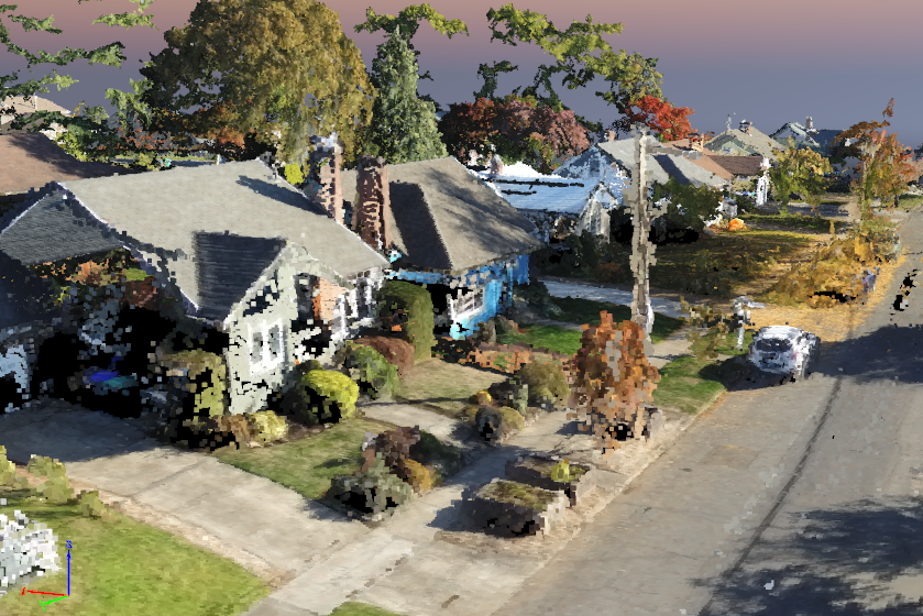
Helios can provide the information and graphics to make your property shine. We can capture your site with stunning 4K videos to show people what you do. Ortho-rectified images can help show land boundaries and survey information. Images can be used for advertising, roof inspection, measurements and anything else needed.