Services
What We Do
We give insight to your projects
By using photogrammetry, we can freeze your project in time by flying our drones and capturing the current state of your project. What you are left with, is a highly accurate, scalable, measurable model of your project along with all of the photos and data needed to fully know your site. With accuracy down to 1 cm, Helios can provided orthorectified mosaics of your site, 3D Models, Contours, Digital Elevation Models, As-Built Drawings, photos/videos, and any other custom-built solutions you need to fully capture and know your site.
Services
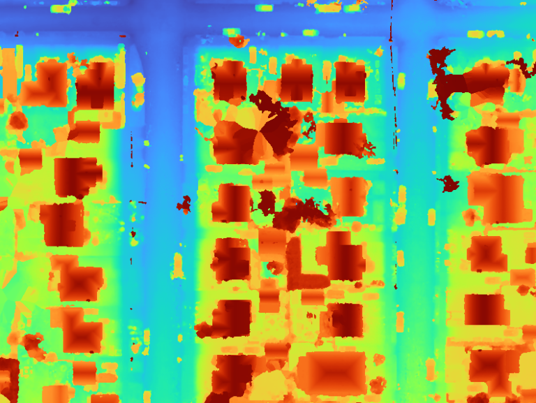
DRONE MAPPING
Drone Mapping allows you to get a quick and accurate map of your site; with a perfect, top down view of your site in a Google-Earth integrated map. These maps are scalable and geo-referenced, allowing you to measure your site, see up-to-date conditions, and overlay in GIS Tools. Custom GIS solutions can be analyzed as needed.
Drone Mapping allows for quick and regular snapshots of ephemeral sites as well. From Construction sites to wildfire slops, Drone Mapping offers a good solution to get to know your site better, and to ensure progress is being completed as scheduled.


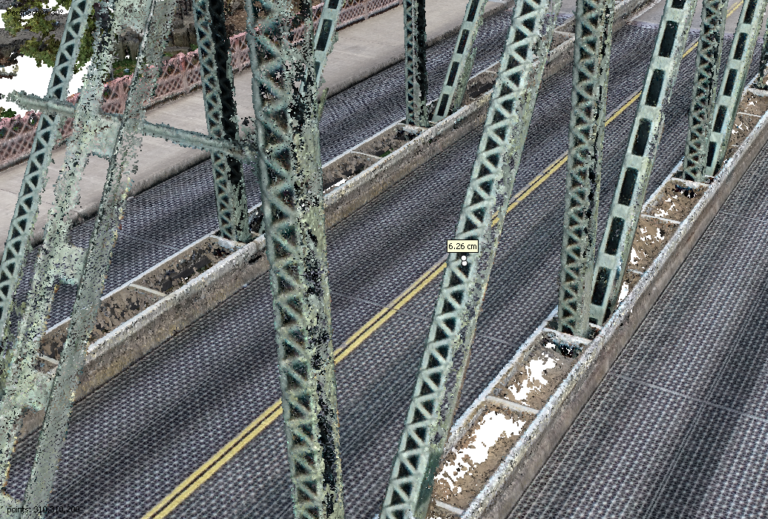
3D REALITY CAPTURE
In addition to the benefits brought to you by Drone Mapping, 3D Reality Capture freezes your entire site in a moment in time. This perfect, scalable, measurable model is accurate down to 1 cm; giving you the insight needed to base designs off of. This means engineers can design structural steel for projects thousands of miles away. This means survey-quality contours and CAD surfaces that can be used for grading and hydrology plans. Timber spacing and fire potential can be measured along with anything else that can be imagined. 3D Reality Capture gives us tens of millions of data points, each geo-referenced and with an X, Y, and Z coordinate, giving you endless opportunities for use.

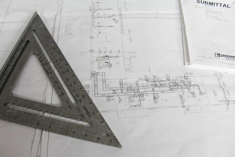
AS-BUILT CREATION
As-Builts are a constant and messy part of every construction project. As Designs get changed in the field, the need for accurately capturing those changes is crucial for operability and for preventing change orders. By using our services, Helios can go to any site and create highly detailed models of anything that exists. These models are scalable, measurable, and accurate down to 1 cm; allowing anyone to glean exactly the information they need for their design. The photos provided allow engineers to zoom in and examine their structure from any angle in high definition. The ability to zoom in on any piece of steel, or crack in concrete from thousands of miles away is a gift to any engineer; and one that catches problems in the field before they happen.
