About Us
Our Story
Helios formed in 2022, out of a desire to apply modern solutions to problems all across the west coast.
Our team comes from a broad range of professionals across the Willamette valley; each having their own areas of expertise. Helios was created to be the alignment of our personal and professional interests: to use our skills and technology to discover more about the local area, and to help plug into our communities by bringing our expertise together to serve in a unique way. From Civil Engineers and IT professionals, to Forest Rangers and firefighters; our breadth of knowledge gives us the opportunity to custom-build solutions for our clients needs. Our love of exploring the outdoors and our local communities give us the experience and passion to find a balance commerce, pragmatism and the environment. By using photogrammetry, we can deliver all of these to our community in an accurate, efficient and detailed way
Photogrammetry is a newer and evolving field of computer technology. When coupled with drones; Photogrammetry allows us to make accurate, quantifiable, and measurable 3d models of nearly anything on this earth. These models are geo-referenced to real world coordinates and accurate down to 1 cm. This means engineers, utilities, project managers, and countless others can have lifelike models of their projects for clear insight. Models with data so precise; your engineers and surveyors can design As-Builts, grading plans, structural drawings and anything else needed.
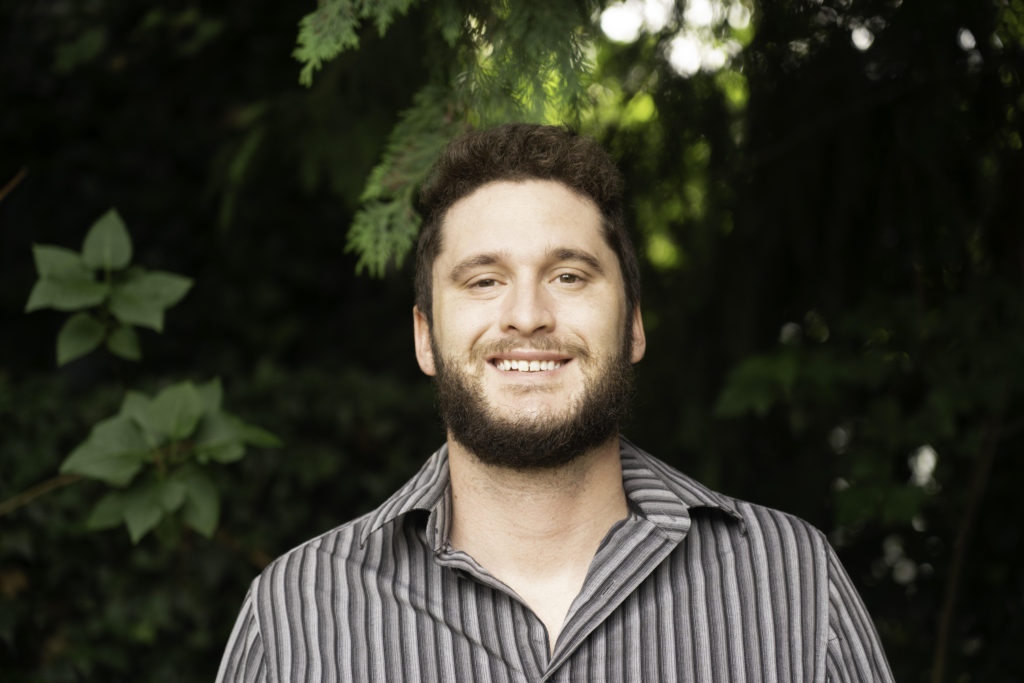
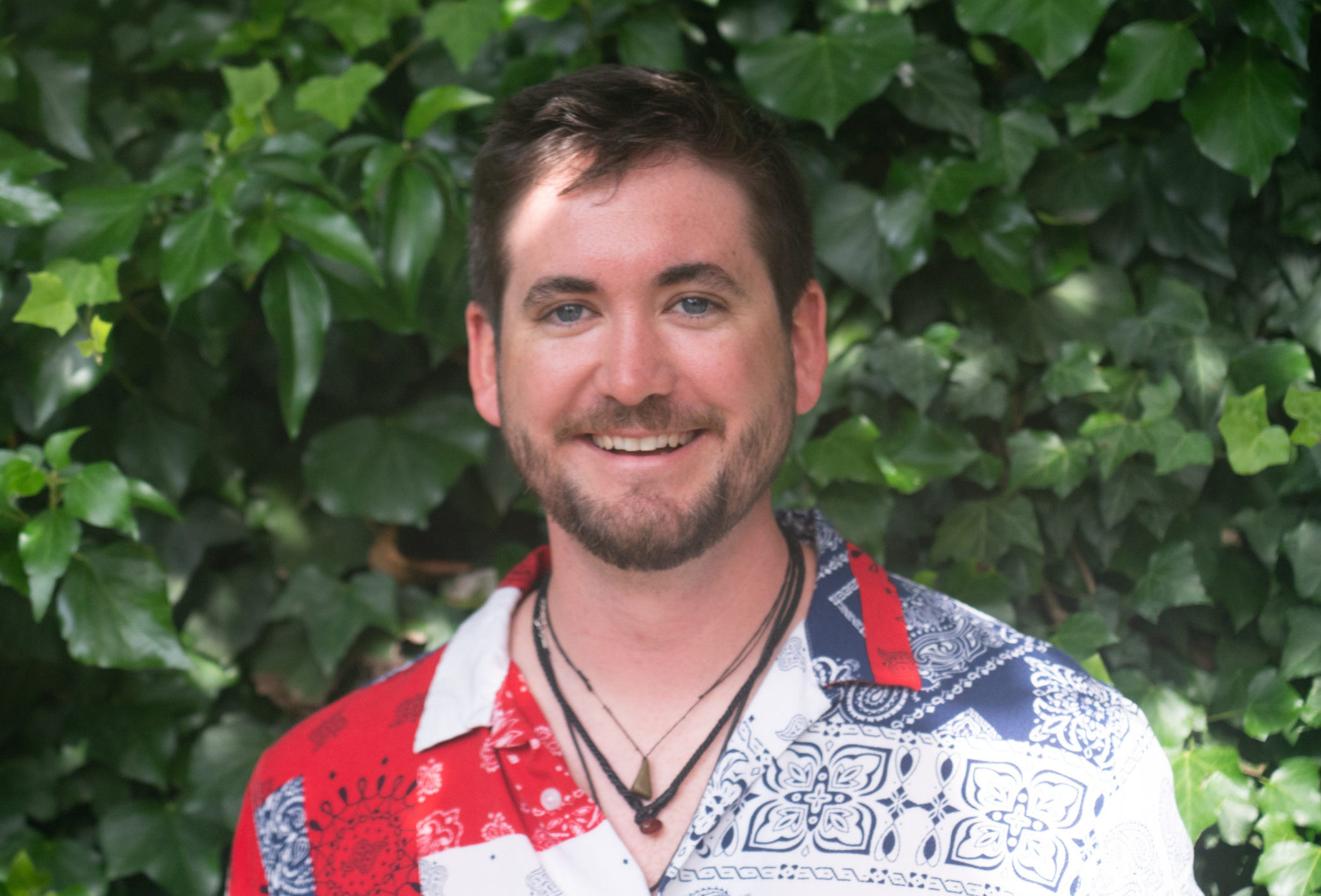
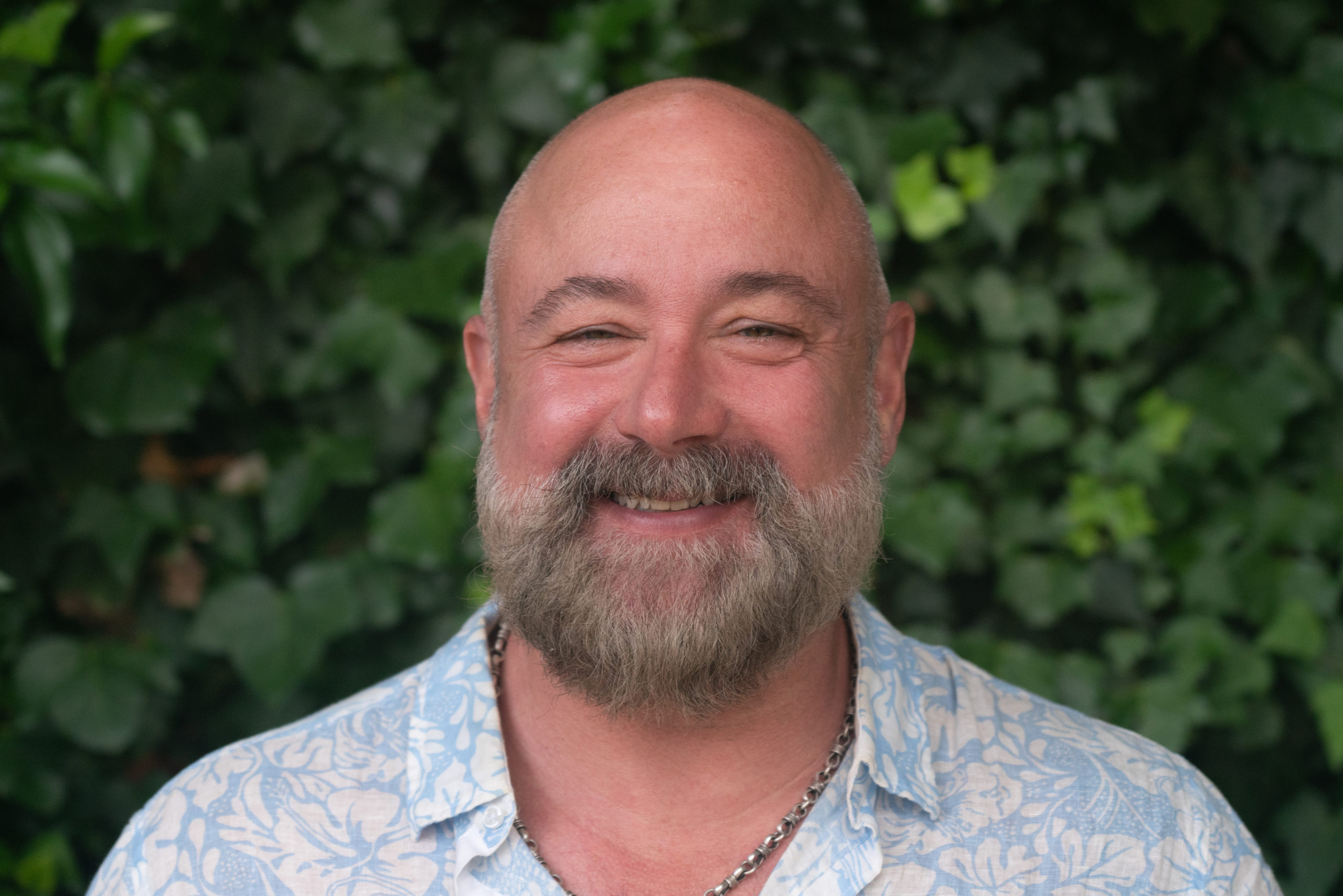
Our Team

Corey
Corey is our founder, and brings engineering, drafting, and photogrammetry to Helios.

Sky
Sky is our resident GIS Specialist, Forest Ranger, drone operator, and occasional rafter.

Mike
Mike brings over 20 years of Computer sciences, programming, API design, and Project Management experience to our team.